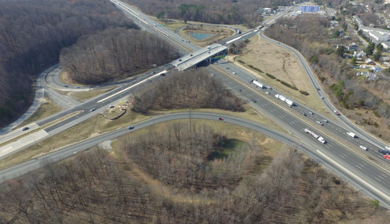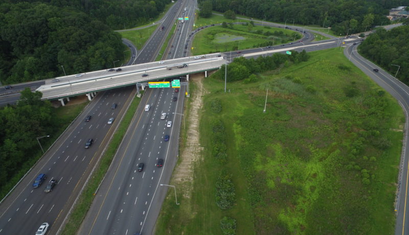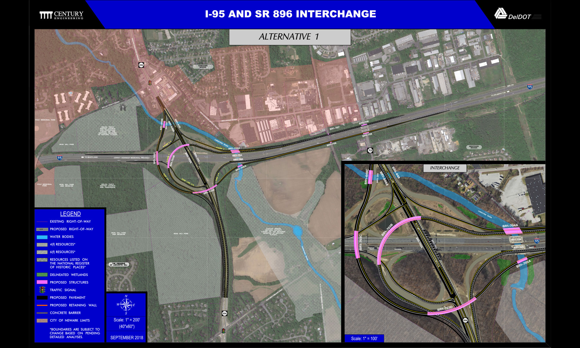
Prepared topographic base mapping of the I-95/SR 896 interchange in Newark, DE ranging from the existing toll facilities on I-95 east to one mile beyond Chapel Street, and along SR 896 from W. Chestnut Hill Road south to Old Baltimore Pike. Performed aerial topographic mapping and conducted LiDAR scanning for portion of the roadway to create base mapping for the proposed diverging diamond interchange.