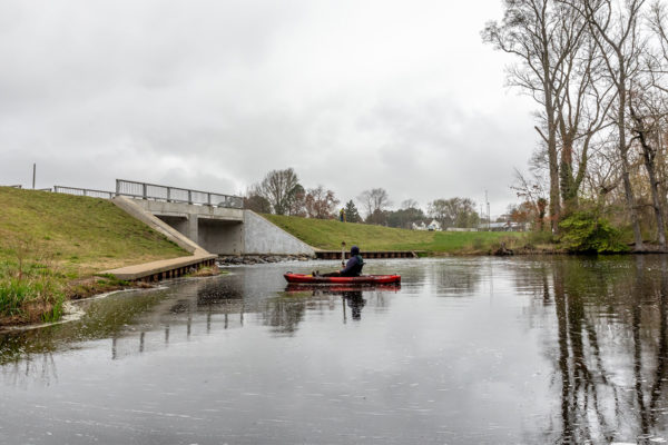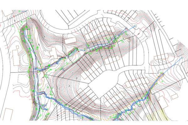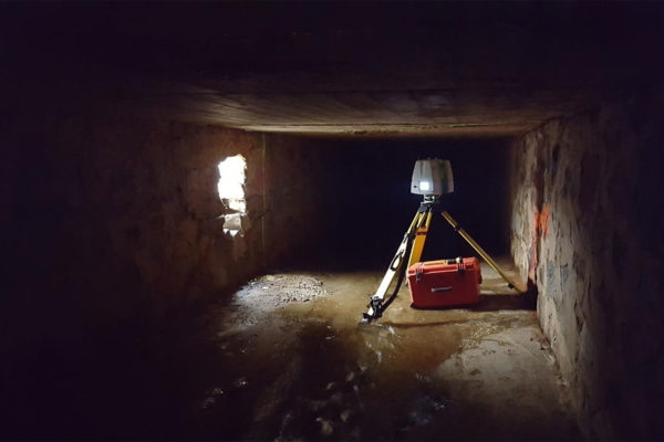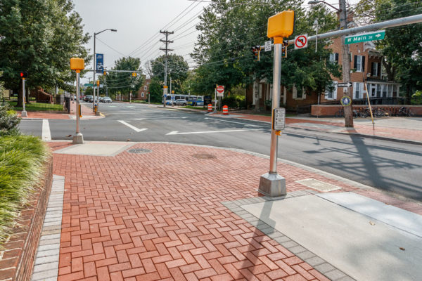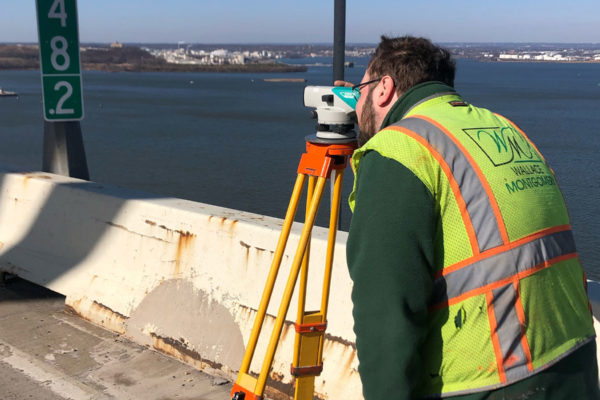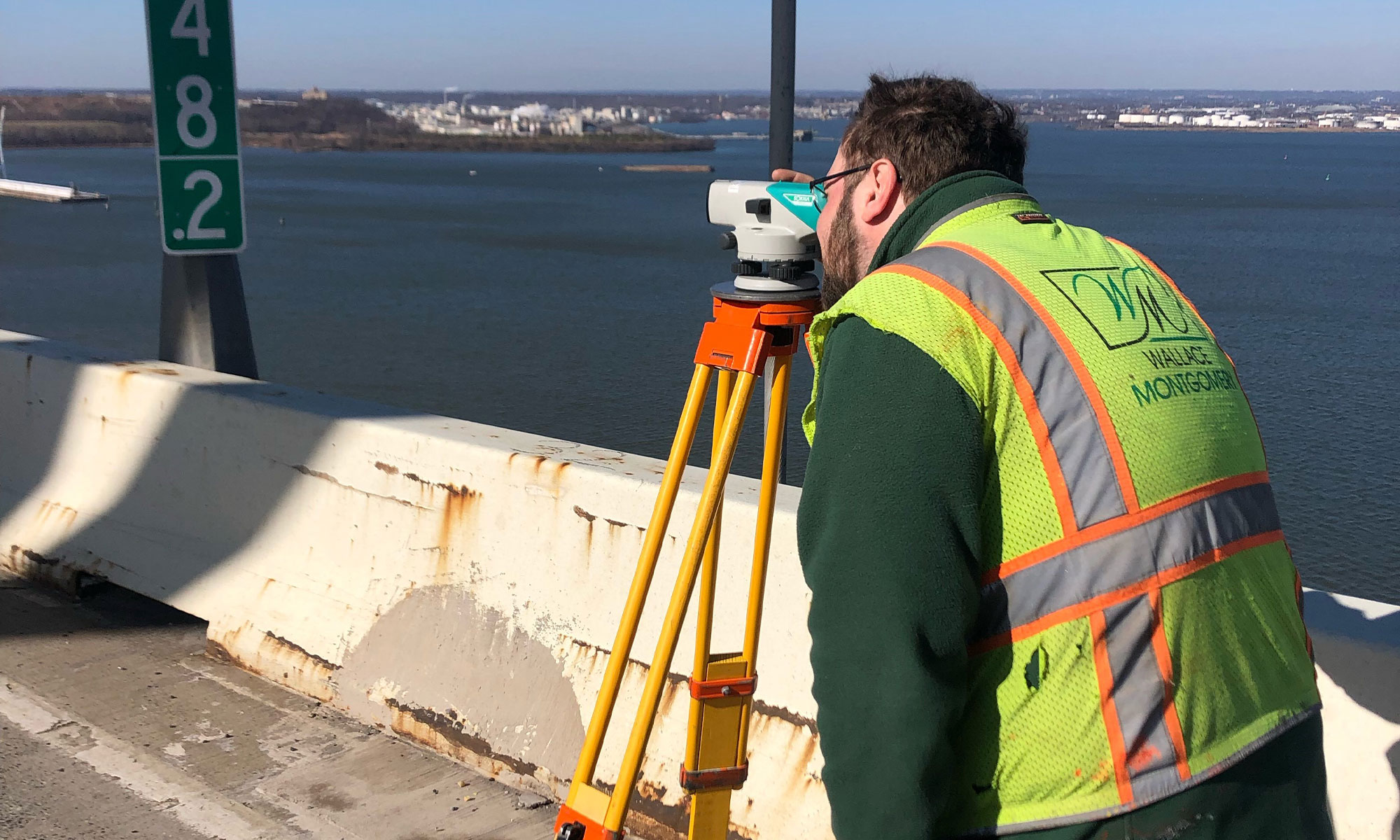
Surveying is the first step for every project. It is the science and art of making measurements to determine the relative position of points or physical and cultural details above, on, or beneath the Earth’s surface and to depict them in a usable form. We utilize collected data to create detailed boundary and topographic maps.
Use various tools to successfully deliver projects including robotic total stations, GPS, and LiDAR scanners, digital levels, and aerial photogrammetry. Combine new technology with time proven techniques to develop accurate mapping on accelerated schedules.
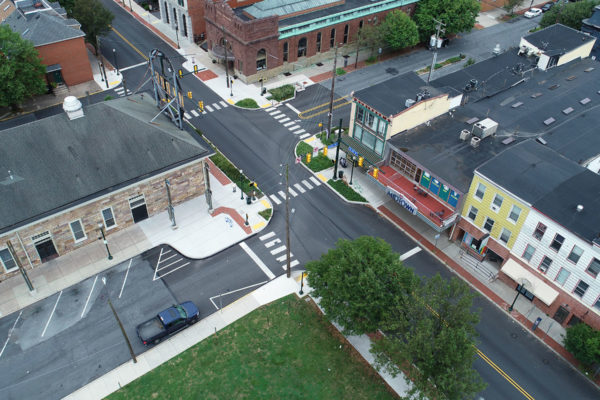
Expertise Sub-Specialty: Aerial Photogrammetry