
Aerial Photogrammetry

Innovative Technology.

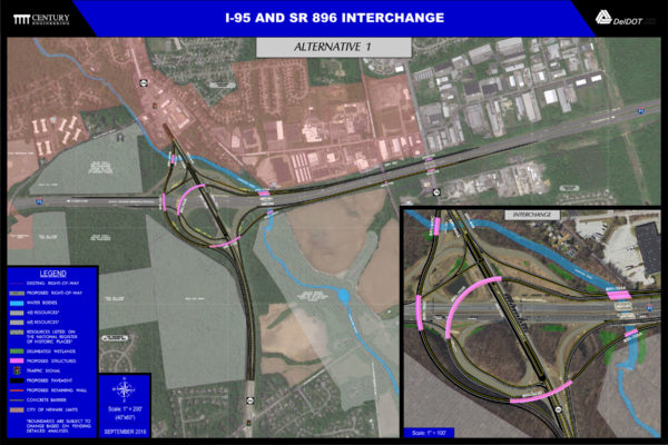
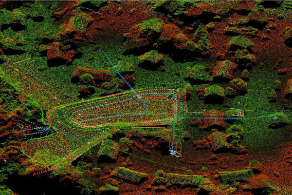
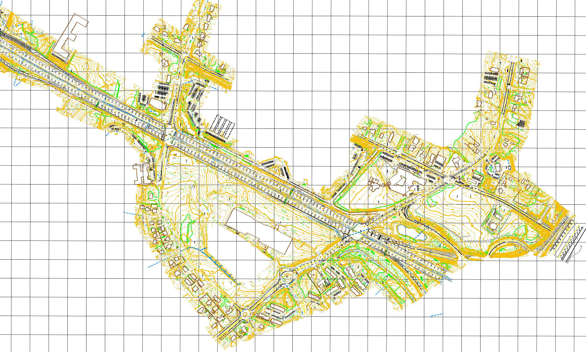
Certified Photogrammetrists use aerial photographs to produce 3D data for mapping, design and computation which often result in better mapping at a lower cost.

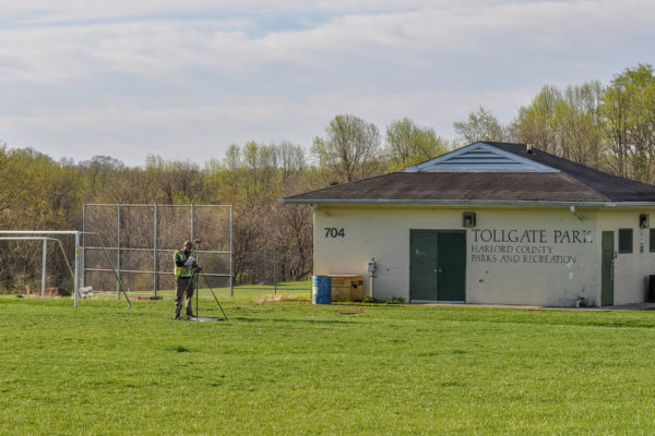
Utilize traditional fixed wing photogrammetry, low altitude mapping photography (LAMP), UAV mapping and aerial LiDAR to obtain data for large and small sites to prepare accurate, detailed mapping in a cost-efficient situation.

Wallace Montgomery: US 29 Aerial Mapping
Expertise Services
  • Aerial Site Photography
  • Airborne GPS
  • Analytical Aerial Triangulation
  • Black & White/Color Aerial Photography
  • DEM/DTM Generation
  • Digital Mosaics & Ortho Photo/Printing
  • High Resolution Precision Photogrammetric Scans
  • Horizontal and Vertical Survey Control
  • Topographic Mapping
  • UAV/Drone Mapping
  • Volume Computations