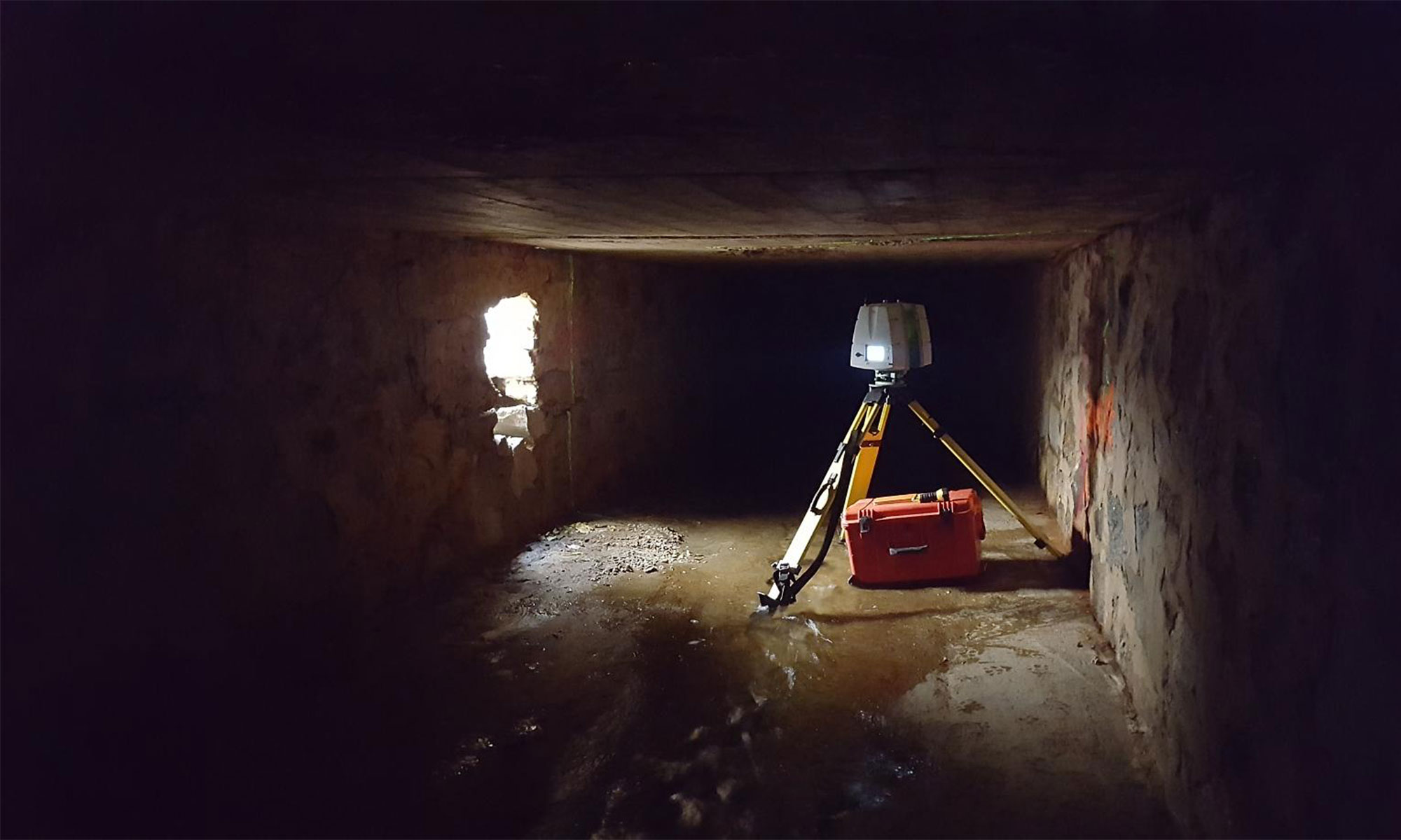
Provided aerial photogrammetry, LiDAR and conventional survey services to support the track lowering design to allow double-stack “high cube” containers through Baltimore, along the Bayview South track alignment.
LiDAR and Mapping Bayview South, CSX


Provided aerial photogrammetry, LiDAR and conventional survey services to support the track lowering design to allow double-stack “high cube” containers through Baltimore, along the Bayview South track alignment.