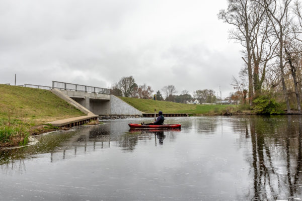
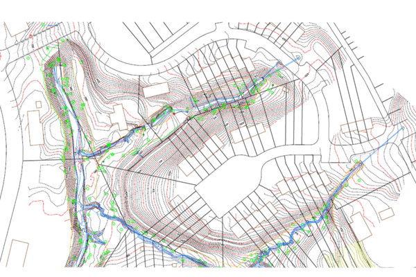
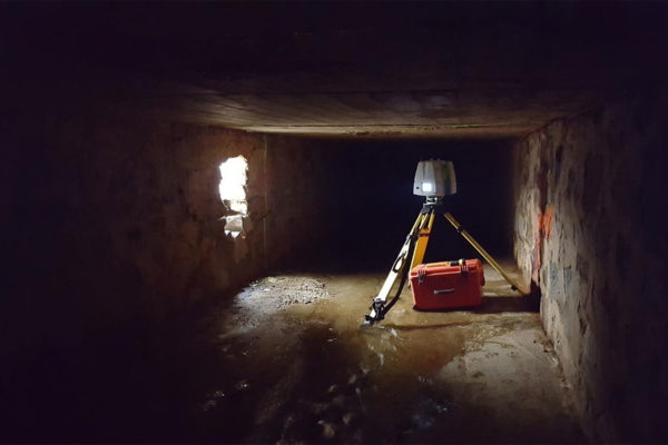
Developed topographic base mapping using Unmanned Aerial Vehicle (drone) photogrammetry, LiDAR scanning, and conventional surveying methods for a new bridge over Norfolk Southern and ADA sidewalk compliance in the core business district.

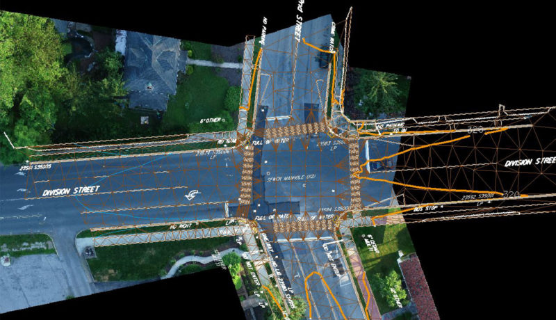
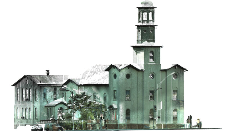
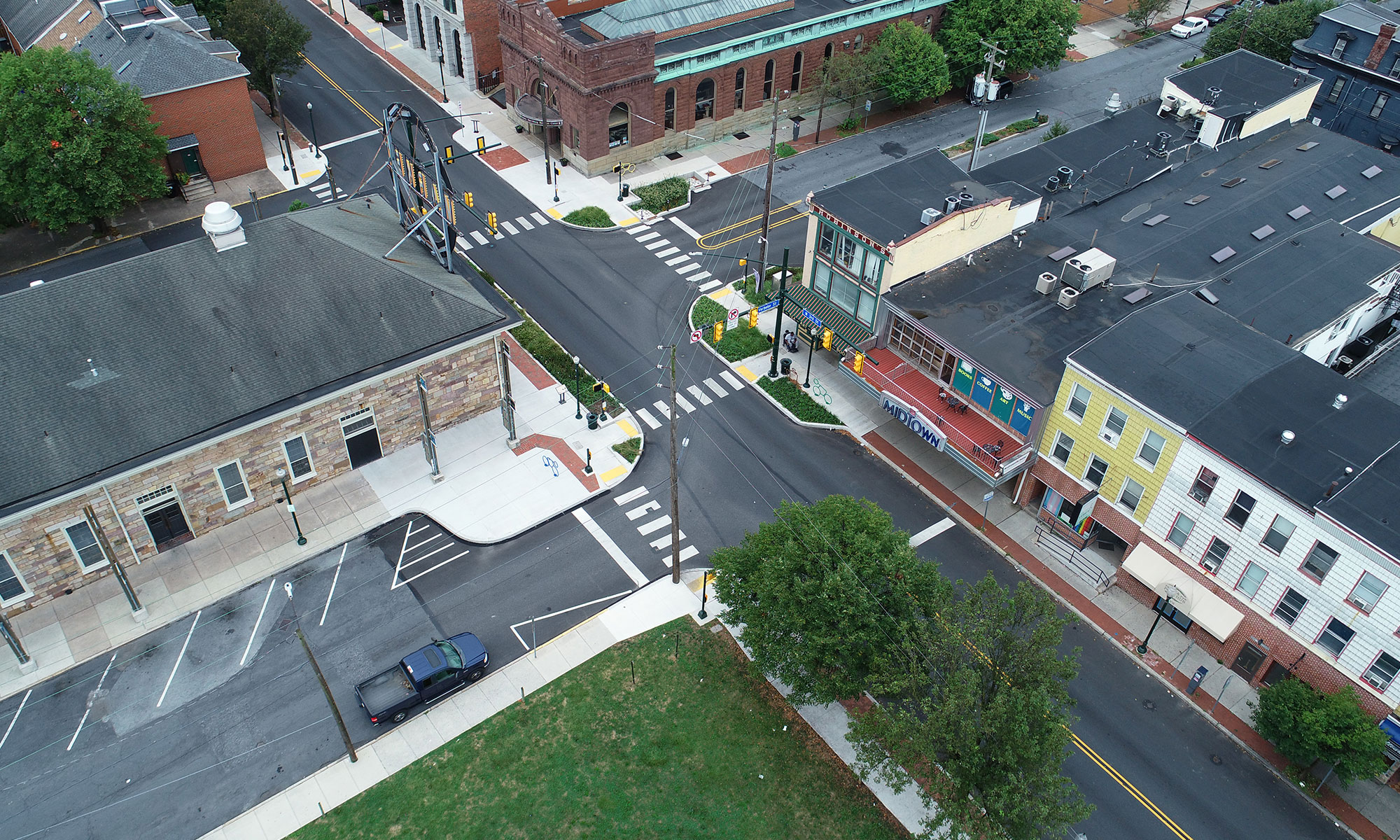
Developed topographic base mapping using Unmanned Aerial Vehicle (drone) photogrammetry, LiDAR scanning, and conventional surveying methods for a new bridge over Norfolk Southern and ADA sidewalk compliance in the core business district.