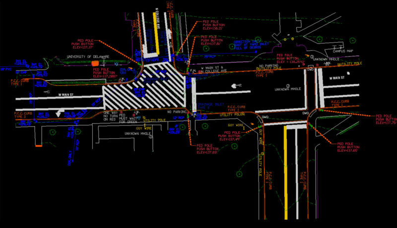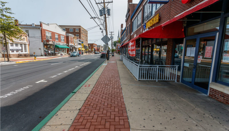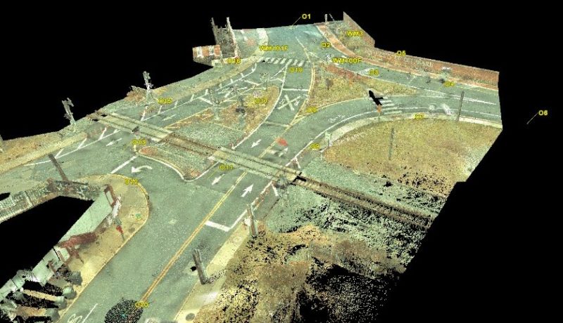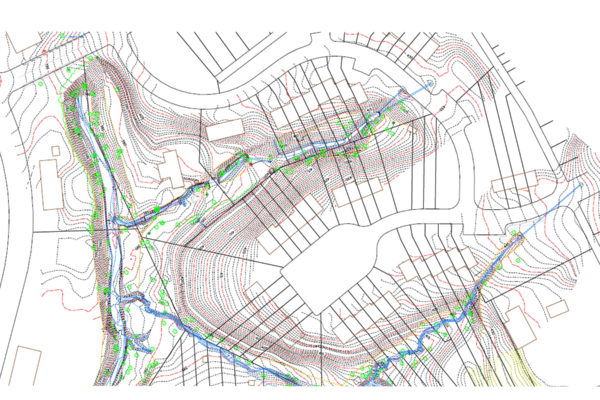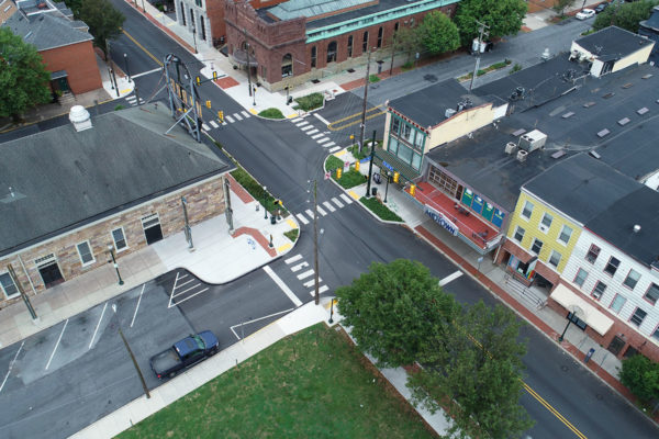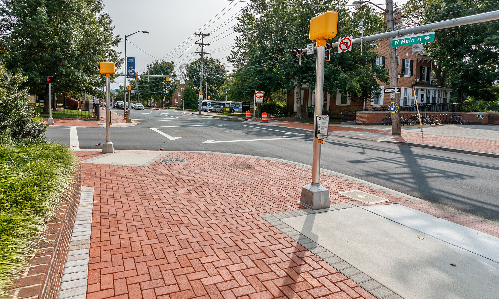
Developed right-of-way (ROW) base mapping used for ADA evaluations and design upgrades. Mapping also improved pedestrian access routes and design curb ramp reconstruction using conventional and LiDAR laser scanning. Established horizontal and vertical control and base mapping in DelDOT CADD standards. Created the base ROW plans by establishing the existing ROW and computing property boundaries.